
පීඩන අවපාතය ගැඹුරු පීඩන අවපාතයක් දක්වා වර්ධනය
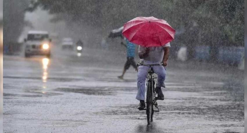 Photo: Newsfirst
AI summary · 1 min read
1 min readFrom 8 outlets- The system is moving west and was reported near 15.3°N, 89.7°E.
- Rupavahini News reports that cyclone development was expected on October 26, with possible strengthening by October 27.
- Forecasts include rainfall above 100 mm in some areas and gusts of 40–50 km/h in several regions.
- Fishermen and naval communities were warned against entering deep-sea areas, according to Daily Mirror.
Lankadeepa, Rupavahini News and Sri Lanka Mirror report that a depression over the east-central and adjoining southeast Bay of Bengal has strengthened into a deep depression, citing the Department of Meteorology. Rupavahini News and Sri Lanka Mirror say it was moving west; Sri Lanka Mirror places its centre near 15.3°N and 89.7°E.
Rupavahini News reports that the system was likely to continue westward and develop into a cyclone over the east-central Bay on October 26, then move west-northwest and potentially strengthen further in the west-central Bay around October 27. Daily Mirror likewise reports a warning that the system could become a cyclonic storm by October 26. An earlier Rupavahini News report had forecast depression status by October 24, deep-depression status by October 25 and cyclone development by the morning of October 26.
Rupavahini News reports that the system is not expected to have a direct impact on Sri Lanka, but winds drawn toward it are expected to bring increased rain, particularly in the island’s southwest, over coming days. It forecasts showers or thunderstorms in several provinces and in Trincomalee district, with some places potentially receiving more than 100 mm. The report also forecasts afternoon showers in parts of Uva, Ampara and Batticaloa, and winds of about 40–50 km/h in specified areas.
Newsfirst’s Sinhala and Tamil reports say rain across parts of Sri Lanka could increase over the next few days. Daily Mirror reports that naval and fishing communities were warned not to go into deep-sea areas of the Bay of Bengal. Rupavahini News says the Meteorology Department urged people to take precautions against temporary strong winds and lightning during thunderstorms.
Your take
Be the first to reactDiscussion
Readers' views on this storyStory alerts
Get an email when an outlet reports something new on this story.
Earlier coverage
Reports on the same subject from the months before this story.
- Ada Derana (සිංහල) · බෙංගාල බොක්කේ අඩු පීඩන කලාපයක් ගැන අනතුරු ඇඟවීමක්
- Newswire · Low-pressure : 150 mm of rain expected in some parts of Sri Lanka today
- Sri Lanka Mirror · Showers above 100mm expected in several provinces
- Daily Mirror · Low-pressure system over Bay of Bengal may intensify into cyclone
- Newswire · New cyclone forming in Bay of Bengal; increased rainfall expected in Sri Lanka